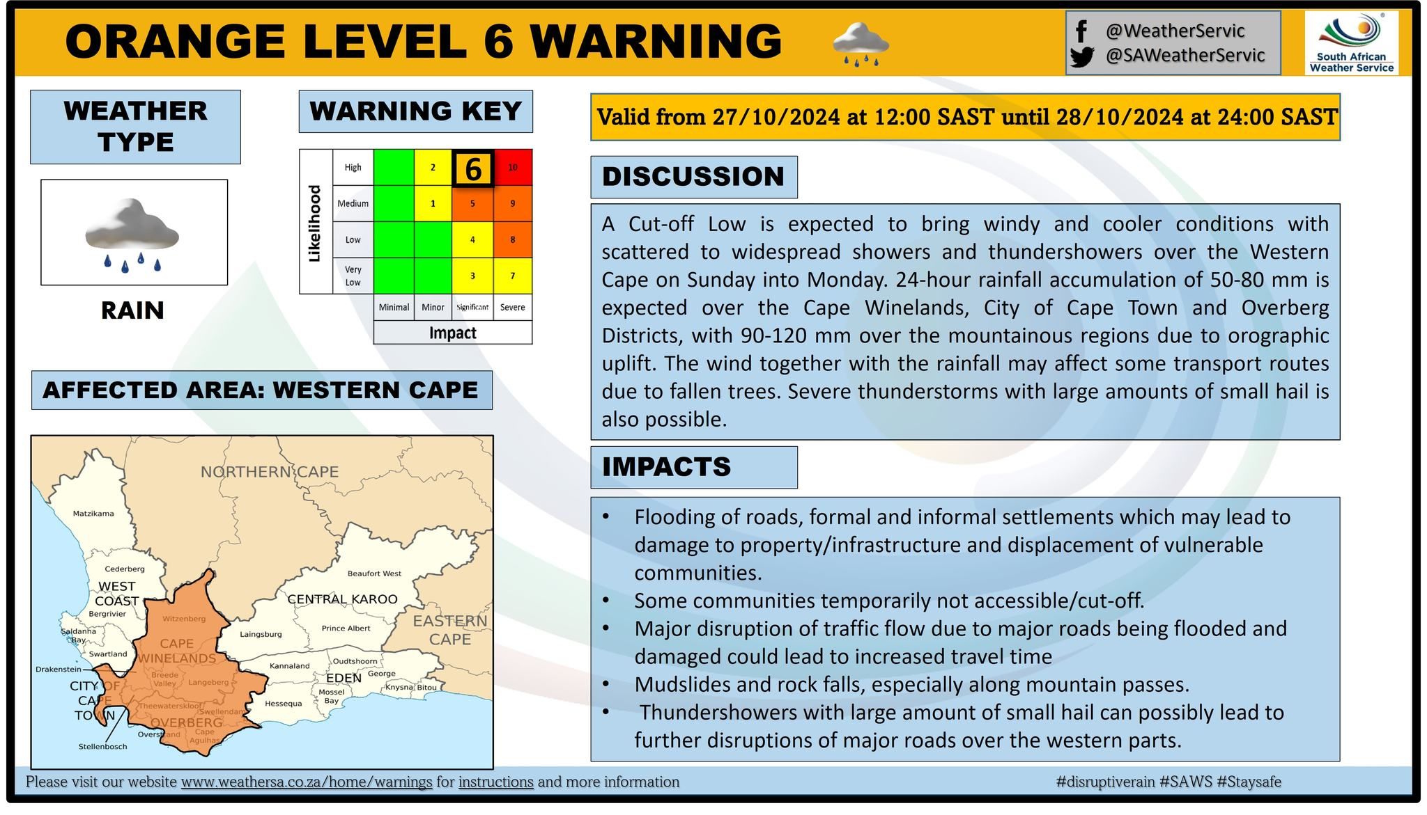
The South African Weather Service (SAWS) has upgraded its initial Yellow Level 4 warning to an Orange Level 6 warning. This is due to severe weather expected today and tomorrow, 27 and 28 October 2024 in parts of the Cape.
SAWS weather warning
Forecasters anticipate the Cape storm to bring with it disruptive rain for large parts of the Western Cape on Sunday. This will continue until Monday morning, 28 October.
A cut-off low pressure system is expected to bring windy and cooler conditions with scattered to widespread showers and thunderstorms over the Western Cape. Additionally, a 24-hour rainfall accumulation of 50mm to 80mm is expected over the Cape Winelands, City of Cape Town, and the Overberg districts.
According to the weather service, severe thunderstorms with large amounts of small hail are also likely.
The SAWS has issued an additional Yellow Level 2 and Orange Level 5 weather warning for damaging wind and waves.
Damaging winds and huge waves
The weather service issued an Orange Level 5 warning for damaging winds leading to difficult driving conditions and damage to settlements for the Cape Winelands, Overberg, Garden Route, and Central Karoo municipalities of the Western Cape and the Karoo Hoogland municipality of the Northern Cape.
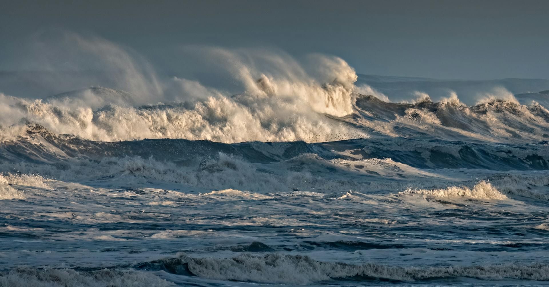
Furthermore, they warned of damaging waves and winds leading to disruptions to ports and harbours between Cape Agulhas and Plettenberg Bay.
Forecasters are expecting wind speeds to reach 85 to 100kph between Cape Agulhas and Plettenberg Bay. The winds should moderate along the south coast towards Monday afternoon.
Meanwhile, the coast between Hondeklip Bay and Plettenberg Bay can expect waves of southerly to south-westerly direction to reach heights of 4 to 5.5 metres.
Specific areas emphasised
Municipal areas expected to be affected by the Cape storm that the SAWS mentioned in particular include Bergrivier, Breede Valley, Cape Agulhas, Cederberg, City of Cape Town, Drakenstein, Langeberg, Overstrand, Saldanha Bay, Stellenbosch, Swartland, Swellendam, Theewaterskloof, and Witzenberg.

Do you pay close attention to weather forecasts?
Let us know by clicking on the comment tab below this article.
You can also email info@thesouthafrican.com or send a WhatsApp to 060 011 021 1.
Also, follow @TheSAnews on X and The South African on Facebook for the latest news.


