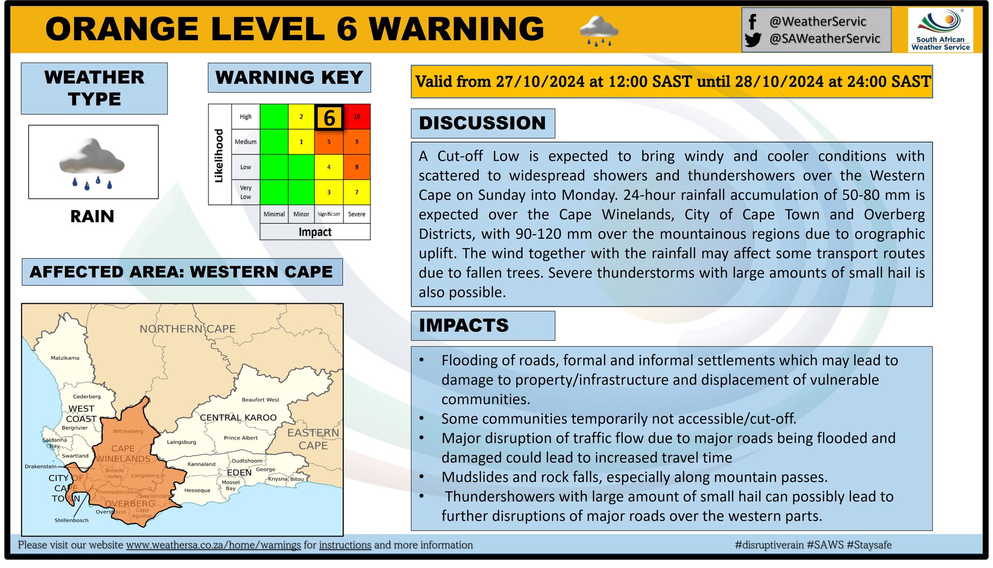
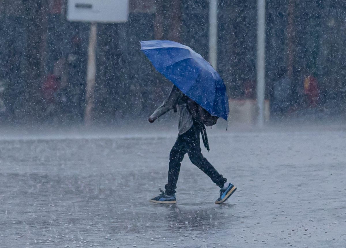
The South African Weather Service (SAWS) has issued several impact-based warnings, as disruptive rain and strong to near gale-force winds are expected in parts of the country this weekend.�
The weather service said a well-defined upper-air system (cut-off low) is expected to pass over the western parts of the country on Saturday, 26 October, while propagating eastwards and eventually exiting South Africa on Tuesday, 29 October.�
ADVERSE WEATHER CONDITIONS TO PERSIST
SAWS said the cut-off low is expected to be accompanied by strong to near gale-force winds (55 to 65 km/h) over the Cape provinces but fresh to strong (30 to 50 km/h) over North West, Gauteng, the Free State, and western parts of KwaZulu-Natal on Sunday, 27 October, ceasing by Monday, 28 October.�
This can damage settlements (informal/formal), cause poor driving conditions that can affect transport routes (N1 and N3), and cause problems for high-sided vehicles affected by winds, falling trees, and possibly blowing sand and dust.
Apart from strong winds, scattered to widespread showers and thundershowers can be expected over the western parts of the country.�
They are expected to spread over the central and eastern parts on Sunday and Monday but are expected to cease from the west by Tuesday.�
The weather service said heavy downpours with rainfall accumulations exceeding 60 mm could be expected in the southwest parts of the country on Sunday. At the same time, it will advance along the south coast of the Western Cape and adjacent interior on Monday.�
This can be coupled with flooding of roads and settlements, damage or loss of infrastructure, property, vehicles, livelihoods, and livestock, with the possibility of hail.

“Along the coastal regions, strong winds, coupled with very rough seas with wave heights of 4 – 5m, can be expected commencing on Saturday, reaching 5 – 6 m along the extreme south-western coastline by Monday. The waves are expected to subside on Tuesday.�
“Temperatures are expected to be warm to hot. However, a significant temperature drop can be expected from the west on Sunday, where temperatures will be cold to cool. In contrast, these temperatures progress over the central by Monday,” the weather service added.
HOW DO YOU HEED WEATHER WARNINGS?
Let us know by clicking on the comment tab below this article or by emailing info@thesouthafrican.com or sending a WhatsApp to 060 011 021 1. You can also follow @TheSAnews on X and The South African on Facebook for the latest news.


