Isolated to scattered showers, severe thunderstorms, and snow are expected in parts of KwaZulu-Natal from Sunday, 8 June, until Monday, 9 June.
This is according to a yellow level 2 warning issued by the South African Weather Service (SAWS).
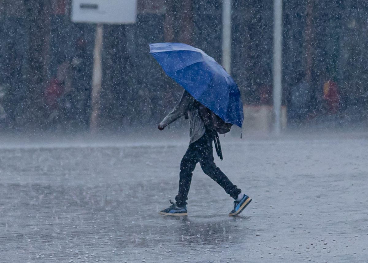
The warning comes as the weather service also issued an advisory for cold, wet, and windy conditions in most parts of the country due to a cold front.
ADVERSE WEATHER CONDITIONS EXPECTED IN KWAZULU-NATAL
The weather service said isolated showers and thundershowers are expected in the southern parts of KZN on Sunday but scattered to widespread over most parts of the province on Monday.
Some of these thunderstorms are expected to become severe along the south coast of KwaZulu-Natal on Sunday and over most parts of the province on Monday, the weather service said.
“The severe thunderstorms are expected to be accompanied by heavy downpours leading to localised flooding, large hail/large amounts of small hail and damaging winds,” SAWS added.
SNOWFALL FORECAST IN THESE PARTS OF THE COUNTRY
Meanwhile, the weather service said snowfall is expected over high-lying areas and mountain peaks leading to icy road conditions over the Beaufort West municipality of the Western Cape and southern High-ground of the Northern Cape Sunday evening, spreading to the southern high-ground of the Free State (reaching the extreme southern and eastern parts), northern high-ground of the Eastern Cape, as well as the south-western and western high-ground of KwaZulu-Natal Monday through Wednesday.
This will be accompanied by very cold, wet, and windy conditions over the interior of the Western Cape and the Namakwa District of the Northern Cape on Sunday, spreading eastwards to affect the southern parts of the Free State, the interior of the Eastern Cape, and the western interior of KwaZulu-Natal on Monday through Wednesday.
Also, snowfall is expected over almost every province, except Limpopo. Some of these snowfalls will be disruptive, affecting traffic flow over mountain passes (for example, the N3 highway at Van Reenen’s pass on Monday, 9 June and Tuesday, 10 June).
POSSIBLE IMPACTS IN OTHER PROVINCES
Moreover, the weather service said some of the more extreme weather impacts associated with this system include the following:
- Strong, damaging surface winds over large parts of the interior provinces from Sunday, leading to an elevated risk of wildfires, especially over the central and eastern interior, ahead of the cold change. These extreme conditions are expected to persist over some of the eastern provinces until Wednesday.
- Strong to near-gale force coastal winds and very rough seas from Friday along the south-west coast, spreading to the south and east coasts during Saturday, and lasting until at least Tuesday along the east coast.
- Heavy rainfall leading to localised flooding and infrastructure damage over parts of the Eastern Cape coast and adjacent interior on Sunday, shifting to southern KwaZulu-Natal on Monday.
WHAT DO YOU THINK ABOUT THE WEATHER FORECAST AND PATTERN IN KWAZULU-NATAL THIS WINTER?
Let us know by leaving a comment below, or send a WhatsApp to 060 011 021 1.
Subscribe to The South African website’s newsletters and follow us on WhatsApp, Facebook, X, and Bluesky for the latest news.