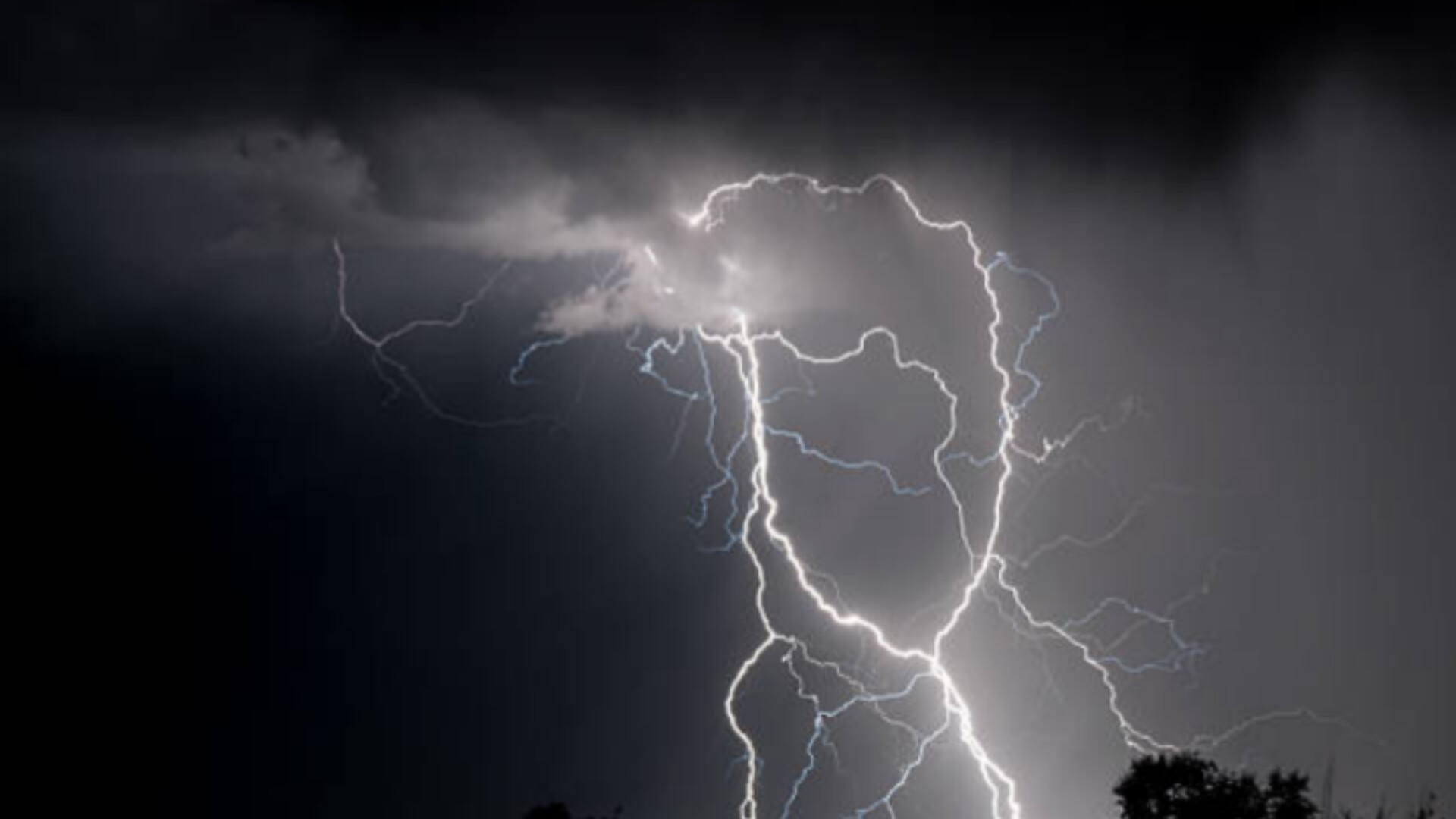
With heatwave conditions over for the central and eastern parts, South Africa is expecting its first significant thunderstorms and with some showers and rain for the Eastern Cape.
Heavy downpours are expected to lead to localised flooding, which are likely to lead to localised damage to infrastructure over Gauteng, the eastern parts of the North West province, extreme north-eastern Free State and the extreme south-western parts of Limpopo.
‘Stay indoors’
“Models are showing areas of slow-moving thunderstorms that may lead to places receiving 40 to 50mm accumulated precipitation from the afternoon into the evening. Significant impacts are possible due to it being the first significant rainfall for the season, therefore run-off is expected to be high, combined with possible blocked drainage systems.
“If possible, stay indoors and off the roads, avoid crossing rivers and swollen streams where water is above your ankles. If trapped in a vehicle during a flood, abandon it and climb to higher ground. In buildings, move valuables to a safe place above the expected flood level,” the South African Weather Service (SAWS) said on Tuesday.
The impact of the weather includes flooding of roads and bridges as well as formal and informal settlements.
The weather service also warned of danger to life due to fast flowing water/streams. Roads could be blocked due to falling trees.
At a media briefing earlier this month, the SAWS encouraged the public to remain vigilant as the upcoming months of October and November could be affected by heatwaves, severe storms and the possibility of damaging winds.
Did you experience thunderstorms in your area?
Let us know by clicking on the comment tab below this article or by emailing info@thesouthafrican.com or sending a WhatsApp to 060 011 021 1
You can also follow @TheSAnews on X and The South African on Facebook for the latest weather-related news.
