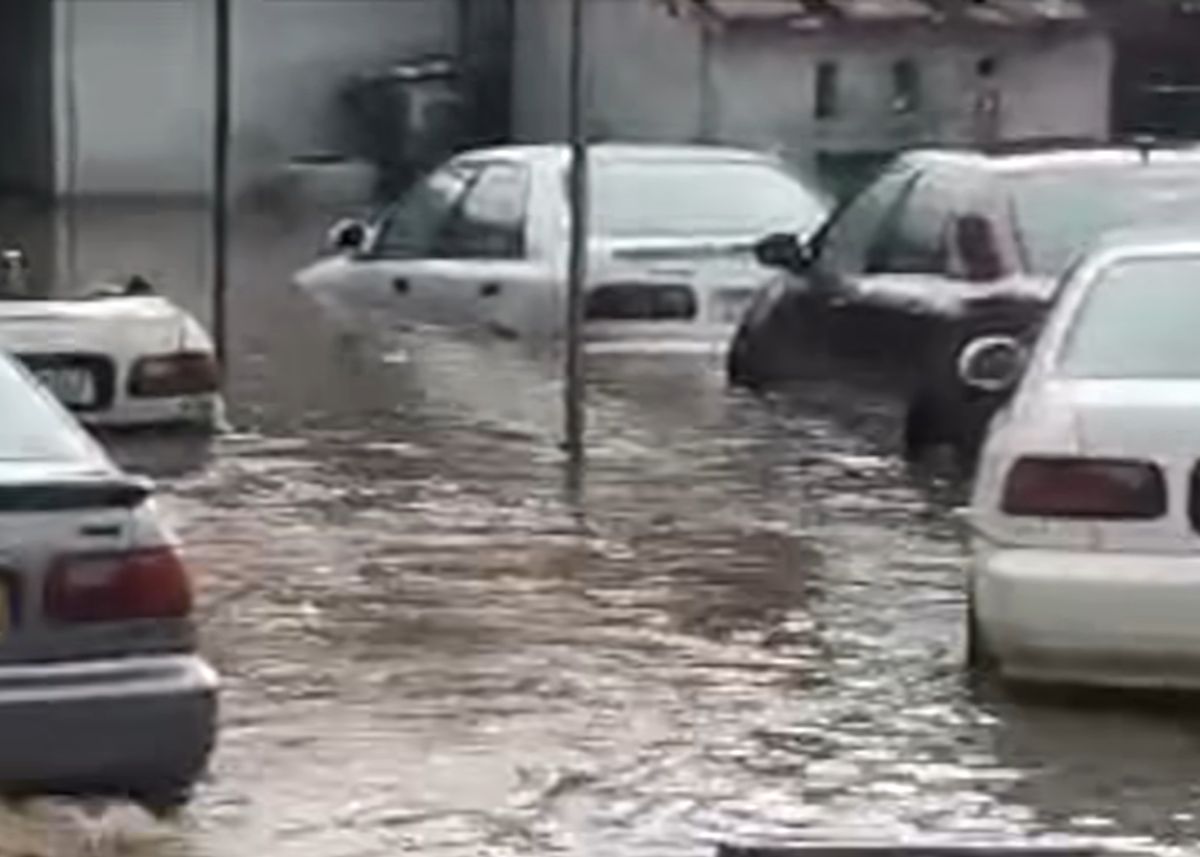
The South African Weather Service (SAWS) has warned of heavy rain that is likely to elevate the risk of flooding over the next few days.
For the latest weather news, bookmark The South African website’s dedicated section for free-to-read content
“Eastern South Africa is expected to experience increased rainfall over the next week, with numerical models predicting between 70-150mm of accumulated rainfall in parts of Gauteng, Mpumalanga, KwaZulu-Natal, the eastern Free State, eastern parts of North West, and the western and southern areas of Limpopo,” SAWS said.
The substantial rainfall increase is likely to raise the risk of flooding.
As a result, the public is strongly urged to stay informed by following short-term weather forecasts and any warnings issued by the weather service.
“With the forecasted rainfall and accompanying cloud cover, temperatures in the eastern parts of the country are expected to cool down, providing some relief from the extreme heat and uncomfortable conditions experienced in recent weeks.
“The weather outlook for Thursday shows a possibility of isolated to scattered showers and thundershowers over the central and eastern areas of the country, but widespread over KwaZulu-Natal and Mpumalanga,” SAWS explained.
The expected thunderstorms may result in heavy downpours that may lead to localised flooding, a possibility of damaging winds as well as hail in places over Gauteng, the Free State, KwaZulu-Natal, Mpumalanga as well as the southern parts of Limpopo.
For Friday, isolated showers and thundershowers are possible over the northeastern areas of the country, but scattered over Gauteng, Mpumalanga as well as the eastern parts of North West with light rain expected along the south coast.
Heatwave
Large parts of South Africa’s interior have experienced heatwaves in recent months, with a particularly intense and prolonged heat wave lasting for two weeks during the first half of December 2024.
“This heat wave resulted in several new temperature records, both maximum and minimum, across various provinces. In addition to the extreme heat, the central and eastern interior of the country has seen significantly less rainfall this season, contributing to drought-like conditions and low water catchment levels.
“Unfortunately, this dry trend is expected to continue over the central interior for the next week with only isolated thunderstorms possible. However, the eastern provinces are likely to see a significant improvement in rainfall over the coming week, as tropical moisture and favourable synoptic conditions are expected to bring more rainfall to the area,” SAWS said.
Have you been affected by the rain – and heatwave?
Let us know by clicking on the comment tab below this article or by emailing info@thesouthafrican.com or sending a WhatsApp to 060 011 021 1
Subscribe to The South African website’s newsletters and follow us on WhatsApp for the latest news.
